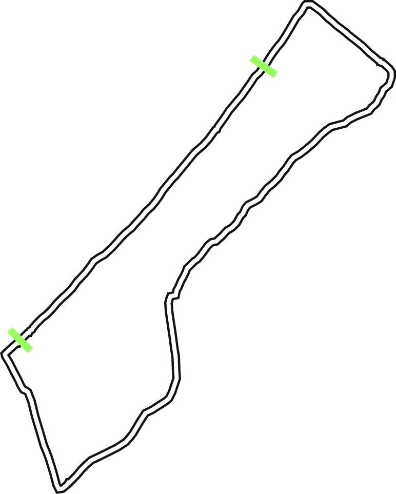
Tent density along Gaza beach during the Gaza war, based on a satellite
snapshot from August 29, 2025.
Source: Unosat
Displaced by the machinations of war, Palestinians have been forced to seek refuge on unorthodox and exposed locations.
Along the shoreline of Gaza, thousands of tents have been erected to provide shelter from the turmoils of inner Gaza. These tents, however, were in the risk of being flooded, some being only a few meters from the waterline.
This stream graph shows the density of these tents along shoreline. The Y axis represents the geographical position along the beach, with north at the top and south at the bottom. The X axis represents the number of tents in each segment of the beach.
The graph was published in Aftenposten on September 17, 2025.