
Shipping chokepoints in a mercantile sea + + + +
Strait of Dover
ASIA
EUROPE
Strait of
Hormuz
Strait of Gibraltar
INDIAN
OCEAN
AFRICA
ATLANTIC
OCEAN
Cape of Good Hope
Bohai Strait
ASIA
Taiwan Strait
Luzon Strait
STILLE-
HAVET
Malacca Strait
INDIAN
OCEAN
OCEANIA
Bering Strait
NORTH
AMERICA
Yucatán Strait
ATLANTIC
OCEAN
PACIFIC
OCEAN
Panama Canal
SOUTH
AMERICA
Magellan Strait
Bering Strait
Dover Strait
ASIA
Bohai Strait
NORD-
AMERIKA
Hormuz
Strait
ASIA
EUROPE
Taiwan Strait
Yucatán Strait
ATLANTIC
OCEAN
Luzon Strait
PACIFIC
OCEAN
Gibraltar Strait
Malacca Strait
PACIFIC
OCEAN
AFRICA
Panama Canal
INDIAN
OCEAN
SOUTH
AMERICA
ATLANTIC
OCEAN
OCEANIA
Cape of Good Hope
Magellan Strait
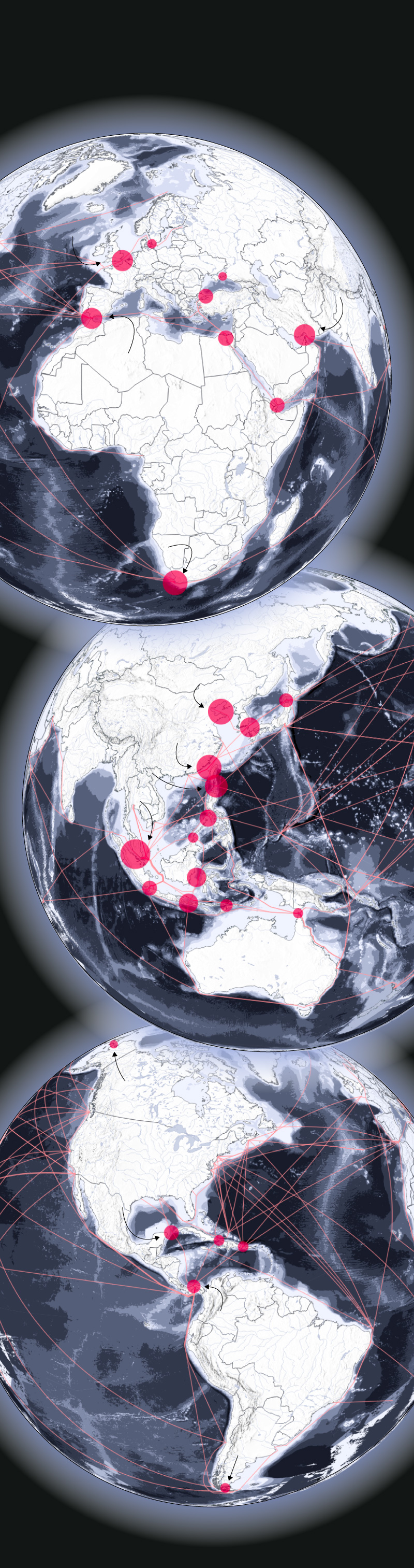
After the Iran war, the Strait of Hormuz became a major chokepoint for shipping of brent crude out of the Persian Gulf.
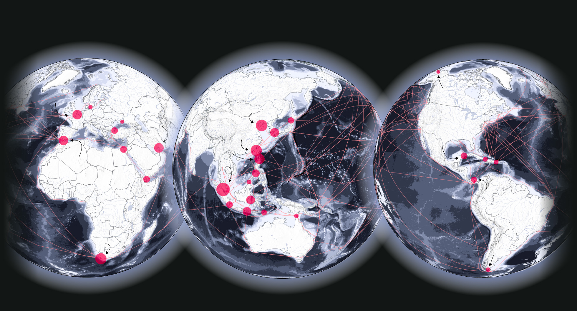
The worldwide sea is dotted with similar chokepoints. These are narrow passages or capes where shipping traffic is forced through in order to avoid long rerouting.
The map was made with a three-part orthographic projection. This was done to prevent the unnatural breakoff a square map projection would make. Notice how a lot of the chokepoints are situated in south east Asia. A lot of trade comes from these countries, with major shipping ports in both China and Singapore. Lines are drawn to show the most common shipping routes.
This map does a good job at showing where the chokepoints are, but it doesn’t tell any individual story about the geopolitics of a certain point.
This map uses data from the Humanitarian Data Exchange, an UN initiative, to show where these crucial chokepoints are. Circles are sized based on monthly average capacity through these straits.
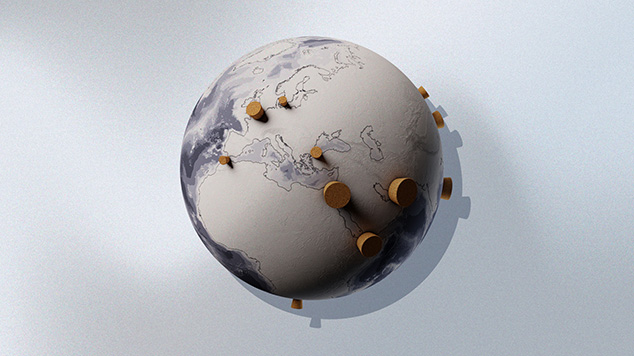
A stylized 3D render of the shipping chokepoints.